Oregon Tide Pools: Choose a Shore by Low-Tide Access by matching the predicted low water to the route your group can safely walk and return from. At The Beach Directory, we help beach enthusiasts compare coastal destinations, access, and local features so you can plan around more than a beach’s reputation.
Free Printable Field Reference & Checklist (PDF)
Save or print our one-stop reference sheet for this guide: Oregon Coast Intertidal Tide Pool Access Matrix and Minus-Tide Safety Checklist. Includes the full specification comparison matrix and step-by-step field checklist.
Key Takeaways
| Question | Planning point |
|---|---|
| Are tide pools better at low or high tide? | Low tide exposes more of the intertidal area, but route access and the time needed to return matter as much as the predicted height. |
| Which Oregon beach has the best tide pools? | There is no single best shore for every group. Compare the tide window, beach access, terrain, and how your group will reach the pools. |
| What should I check on a tide chart? | Use a prediction for your chosen shore and visit date, then note both the low water time and predicted height. |
| How can I find Oregon tide-pooling destinations? | Browse our [Oregon tide-pool destinations] and compare their access descriptions with your tide plan. |
| What if the pools are unsafe to reach? | Stay on sand or a firm viewing path, or change to another shore with a safer approach. |
| How do I compare destinations? | Use the same measures for each shore: one-way approach distance, walking time, surface, stairs, rock crossings, and viewing options. |
Choose a low tide that fits your route
Use a tide prediction for the specific shore and visit date, and plan around its predicted low water time and height. A low tide at one beach does not expose the same pools or access routes as a low tide somewhere else.
Compare the predicted height with the route you plan to walk. Lower water can expose more habitat, but it does not guarantee that a pool is reachable or that water will stay off your return route for the time you need.
Plan to reach the intertidal area before low water, then leave enough time to return before the rising tide covers the route. Do not build your visit around exploring until the exact low tide moment, because the outward walk and return both use part of the tide window.
The Oregon Department of Fish and Wildlife study used elevation strata of 0 to 0.5 meters, 0.5 to 1 meter, 1 to 2 meters, and 2 to 3 meters, with Mean Lower Low Water as 0. These are shore elevation bands, not tide predictions for a particular beach; lower areas remain covered longer, while higher areas become exposed earlier.
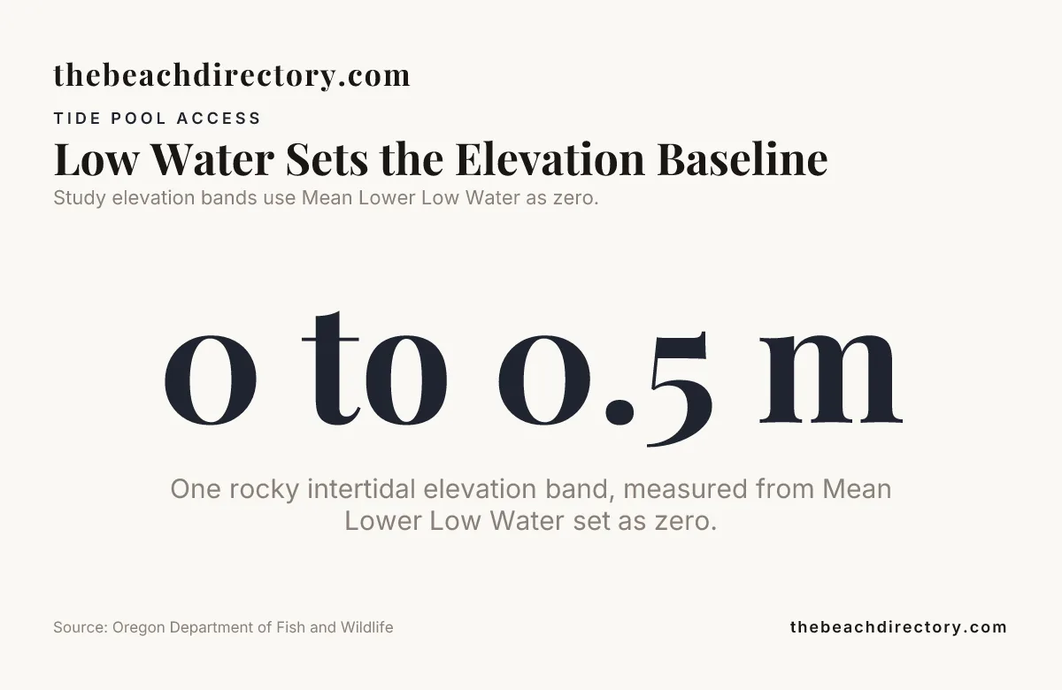
Study elevation bands use Mean Lower Low Water as zero.
Compare the walk from beach access to the pools
Beach access and tide-pool access are not always the same thing. Neskowin Beach has a Ghost Forest visible at low tide and walkable access to Proposal Rock at low tide, while Oceanside Beach has a tunnel through Maxwell Point to a secluded cove accessible only at low tide.
Cannon Beach pairs expansive sandy shores and tidepooling with the Haystack Rock area, giving visitors a recognizable destination to consider when comparing shore types. Its broad beach and tide-pooling appeal suit this comparison
Use the same route measures for every destination. The distance and time cells below are planning fields: enter your one-way measurement in meters and walking estimate in minutes for the access point you intend to use.
| Destination | Approach distance, meters | Estimated walk, minutes | Surface | Stairs or steep sections | Rock crossings | Firm path or sand viewing options |
|---|---|---|---|---|---|---|
| Cannon Beach | Expansive sandy shore | Sandy shore | ||||
| Neskowin Beach | Beach approach | Beach viewing; Ghost Forest visible at low tide | ||||
| Oceanside Beach | Tunnel through Maxwell Point to a secluded cove | Beach and cove access at low tide | ||||
| Yachats Beach | Volcanic rocky shoreline | Scenic 804 Trail follows the shore |
Count stairs, note steep sections, and mark where a firm path or sand ends. An easy entrance can lead to a difficult walk to the tide pools, especially when the remaining route crosses loose cobbles or uneven rock.
For visitors using mobility aids, choose a firm path or a place where the intertidal area can be viewed without crossing loose or uneven rock. If route conditions are unclear, contact local park staff for current information before setting out.
Match shore type and terrain to your group
A sandy approach can be easier to walk across than uneven rock, but the distance from the entrance to the intertidal zone may be longer. Compare the whole route rather than judging access by the beach entrance alone.
Rocky headlands can bring pools closer to shore, but wet algae, barnacles, and gaps make footing less predictable. Choose a shore where everyone can turn back without crossing exposed rocks if the tide, surf, or anyone’s mobility needs make the route uncomfortable.
At Cannon Beach, tide-pooling and expansive sandy shores meet the landmark of Haystack Rock, a 235-foot sea stack. Those features make it a useful example of a sandy destination with a tide-pool draw, but they do not supply a route distance or terrain measurement for any particular entrance.
For a group that prefers a rocky shoreline, Yachats Beach is described as a volcanic shore with extensive tidepools. The Oregon tide-pool beach listings can help you compare other named destinations, then you can match the shore description to your route and tide plan.
Know what the intertidal zone can show
The intertidal zone is the area between high and low water. Exposure time changes with height on the shore, so lower pools are exposed for less time than higher areas and may be reachable only during a shorter part of the tide cycle.
Anemones, barnacles, and sea stars are common tide-pool sights, but the species and visible activity vary with location, season, and conditions. Look closely at the water and rock surfaces, and give each pool time to reveal its marine life without disturbing it.
Tide-pool etiquette: Step on bare, stable rock, not seaweed, barnacles, or animals. Observe organisms where they are, and do not touch, move, collect, or remove them.
Many organisms cling tightly to rock, and one misplaced step can damage them. Follow applicable protections and local rules, especially around protected areas and wildlife.
Stay safe and keep a backup shore in mind
Keep the ocean in view while you explore and watch for incoming waves, including sneaker waves that can reach farther up the shore than expected. Leave exposed rocks well before water begins covering the route back.
Wet rock is slippery, and active surf makes ledges and narrow passages especially risky. Avoid routes that require scrambling when footing is uncertain, and never wait on exposed rocks for another low point.
If waves begin reaching the rocks, stop exploring and move toward the beach by the safest available route. Do not turn your back on the ocean while waves approach.
High surf, an unsafe route, or a missed low-tide window is a reason to change plans, not to hurry. Choose another shore with a safer approach or enjoy the coast from sand or a firm viewing path; the Scenic 804 Trail is one option to consider for shoreline views around Yachats.
Use this step-by-step field checklist
Oregon’s shoreline is 362 miles long, according to the Oregon Parks and Recreation Department. A clear plan helps you choose a shore that fits your group and the conditions on the day.
- Select a shore and find its tide prediction for your visit date. Write down the predicted low tide time and height for that specific location.
- Compare the low tide with the route to the pools. Record the approach distance, walking time, stairs or steep sections, surface, and any rock crossing.
- Check surf and weather conditions. Identify a safe return route and set a turn-back time that leaves enough room to return before the tide rises over the route.
- Pack for the shore and your group. Bring shoes with secure grip, water, weather-appropriate layers, and a small first-aid kit. For children, agree on a staying distance from the water and an adult-led return plan.
- Reassess at the beach entrance. If waves, footing, or the route differ from the plan, do not proceed to exposed rocks; use the beach or a firm path as your backup.
See also: Best Surf Boards.
Conclusion: Choose the Shore Your Group Can Reach
Oregon Tide Pools: Choose a Shore by Low-Tide Access means checking the predicted height and time, then comparing the actual approach, footing, and return route. Choose a shore where your group can explore without rushing, and keep sand or a firm viewing path as a comfortable backup.
Frequently Asked Questions
Are guided tide pool walks or interpretive programs offered along the Oregon Coast?
Ask the coastal park or local organization whether guided walks or interpretive activities are scheduled for your visit date. These programs can help visitors identify local marine life and understand how the intertidal habitat changes across the shore.
Can I visit tide pools without crossing uneven rocks?
Sometimes, if a firm path, overlook, or sandy viewing area gives you a view of the intertidal zone. You may see fewer pools than visitors who walk onto the rocks, but you can still observe shoreline activity from a stable surface.
Does rain change whether tide pools are safe to visit?
Rain can make exposed surfaces slick and reduce visibility, so the route may feel less secure even when the tide prediction is suitable. Heavy rain can also make it harder to judge shallow water and changes in footing.
How long should I allow for a tide-pooling visit with children?
Allow enough time for a relaxed visit, then fit that time inside the safe tide window rather than extending it to the next low point. Children often pause to observe small animals, so a short, unhurried visit can work better than a long route with several crossings.
Are dogs allowed near Oregon tide pools?
Dog rules vary by beach and protected area, so read posted signs and local park rules before bringing a pet. Keep dogs away from wildlife and tide-pool organisms, and use a leash where required.
Download the Companion Printable Reference Sheet (PDF)
Save or print our one-stop reference sheet for this guide: Oregon Coast Intertidal Tide Pool Access Matrix and Minus-Tide Safety Checklist. Includes the full specification comparison matrix and step-by-step field checklist.